






Anyone who has ever cancelled a picnic only to watch the sun reappear an hour later knows that not all rain is created equal. Understanding whether you are dealing with a rare shower or a spell of scattered rain can make the difference between a ruined afternoon and a well-timed dash to the shops. This distinction matters far more than most people realise, shaping everything from what you wear to how entire industries plan their working day.
Key points
- Persistent rain originates from widespread stratus clouds, while showers are produced by rapidly developing and dissipating cumulus clouds.
- Showers are characterized by their fleeting, intense, and highly localized nature, whereas steady rain is more consistent and covers larger geographical areas.
- Geographical features like hills and coastlines significantly influence where showers cluster, making them more difficult to forecast than widespread precipitation.
- Virga is a phenomenon where rain evaporates before hitting the ground, demonstrating that visible precipitation in the sky does not always result in wet conditions below.
- Understanding the difference allows for better daily planning, such as knowing when to wait out a brief shower versus rescheduling events due to persistent rain.
- Industries like agriculture, construction, and renewable energy use hyperlocal weather intelligence to optimize operations based on the specific type and duration of expected rainfall.
Understanding the Fundamental Characteristics of Showers Versus Scattered Rain
Meteorological definitions and formation mechanisms of precipitation types
At the heart of the matter lies a simple but often overlooked truth: rain and showers come from entirely different types of cloud. Persistent rain typically forms within stratus clouds, those flat, grey blankets that stretch across the sky and settle in for the long haul. This kind of rainfall tends to be widespread, falling steadily over a broad area and affecting everyone underneath it in more or less the same way. Showers, on the other hand, are born from cumulus clouds, the puffier, more dramatic formations that build up quickly and just as quickly dissipate. This is why showers have that classic hit-and-miss quality, starting abruptly, pouring hard for a few minutes, and then vanishing as though nothing happened.
There is also a curious phenomenon called virga, where rain falls from a cloud but evaporates before it ever reaches the ground. In these cases, weather forecasting systems might record a precipitation amount of zero millimetres despite what looks like a proper downpour in the distance. It is a good reminder that appearances in the sky do not always translate into wet pavements below, and it is precisely this kind of nuance that makes accurate weather forecasts such a valuable tool for everyday life.
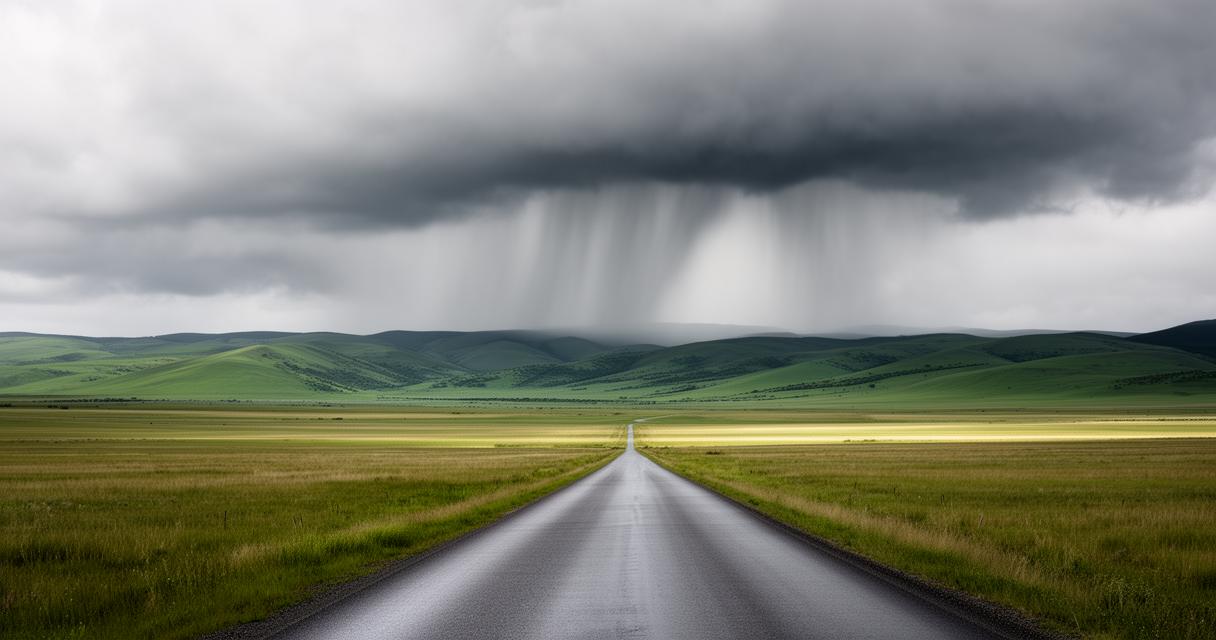
Intensity patterns and duration differences between localised showers and widespread rainfall
When meteorologists talk about intensity, they are not necessarily talking about how much water falls, but rather how fast it falls and over what area. Showers can range from a light spatter delivering next to nothing up to a fierce thirty-five millimetres in a short burst, while sustained rain can vary from a gentle one millimetre trickle to as much as one hundred millimetres during a genuinely soggy spell. The key difference is duration and consistency. Rain tends to settle in and stay, whereas showers are fleeting visitors that can catch you out precisely because they are so brief and so localised.
How geographical factors influence precipitation distribution and behaviour
Regional variations in experiencing showers and scattered rain across different landscapes
Where you live plays a huge role in which type of precipitation you are more likely to encounter. Some regions seem to attract persistent, drizzly rain, while others are far more prone to sudden, localised showers that can drench one street while leaving the next one completely dry. This unpredictability is part of what makes showers so notoriously tricky to forecast. Because they cover such small areas and can develop or fade within minutes, even sophisticated weather data models struggle to pinpoint exactly where and when they will strike. Seasonal patterns matter too, with showers becoming considerably more common in the warmer months when the ground heats up unevenly and creates the perfect conditions for those bubbling cumulus clouds to form.
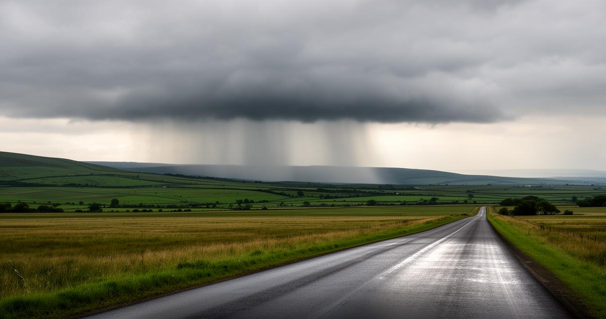
The role of topography and proximity to water bodies in localised weather phenomena
Hills, coastlines and other local features have a significant effect on where showers tend to cluster. Rising ground forces air upwards, cooling it rapidly and encouraging cloud formation, which is why hilly or coastal areas often see far more shower activity than flat inland regions. This localised behaviour is a major reason why hyperlocal weather intelligence has become so valuable, allowing forecasters to zoom in on specific pockets of activity rather than relying on broad regional predictions that might miss a shower entirely or fail to capture its true intensity.
Practical implications for planning daily activities around different rain patterns
Adapting outdoor schedules and preparations based on precipitation forecasts
Once you understand the difference between these two types of precipitation, weather planning becomes a great deal easier. If persistent rain is forecast, it makes sense to reschedule outdoor plans altogether, since the wet weather is unlikely to let up any time soon. Showers, however, might only require a short delay or a bit of patience, since they tend to pass through quickly. This distinction is reflected in the different weather symbols used across forecasts, helping people quickly grasp whether they are facing a soaking day or simply a few unpredictable bursts.
Industries that depend heavily on accurate conditions have particularly embraced this nuanced approach. In agriculture, smart weather forecasting helps farmers make informed decisions about when to plant, spray or harvest, since a passing shower has very different implications than a day of steady rain. Construction firms similarly rely on precise weather data to plan site operations, timing concrete pours or crane work around brief dry windows rather than assuming an entire day is lost to bad weather. Meanwhile, the renewable energy sector uses hyperlocal weather intelligence to maximise energy output, adjusting turbine and solar panel management according to fast-changing cloud cover.
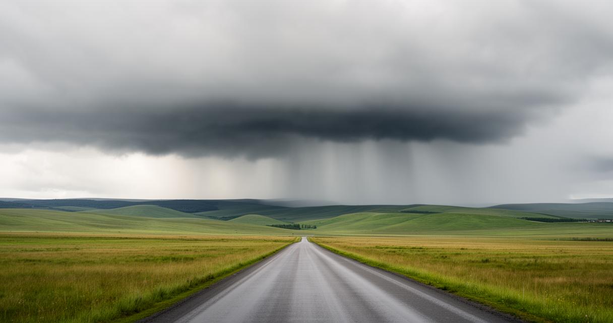
Transport considerations and clothing choices for various rainfall scenarios
- Carrying a compact umbrella for sudden showers rather than a heavy coat suited to all-day rain
- Checking hyperlocal forecasts before committing to cycling or walking routes
- Allowing extra travel time when persistent rain is expected, as roads and public transport can be affected uniformly
Ultimately, whether you are consulting the Met Office, following climate services from a dedicated research programme, or simply glancing at Jane's Weather Update before heading out the door, grasping the difference between rare showers and scattered rain empowers better decisions throughout the day. Given the ongoing effects of climate change, weather unpredictability seems set to increase, making this kind of understanding more relevant than ever. Many providers now offer a thirty-day free trial for customised forecasts, with no credit card required, giving curious readers a chance to explore hyperlocal weather intelligence for themselves and see just how differently rain and showers can behave from one postcode to the next.